Check out 'Fáilte Maps' using open data from Fáilte Ireland
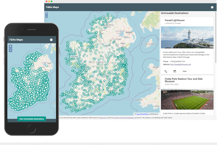
29 June 2020The 'Fáilte Maps' app had been developed by Donegal Software Engineer Brian Douglas and makes use of data that has been made available by Failte Ireland on data.gov.ie under the Creative Commons Attribution 4.0 license.
It allows the user to view thousands of attractions, activities, and accommodation available in Ireland which are visible on a clear and easy to use map. The user can share an attraction to a friend, as well as view the contact details for said attraction. There are also some promoted attractions available on the sidebar in desktop and the bottom panel in mobile.
See the following link for more information: https://data.gov.ie/showcase/failte-maps
(The website/app is not affiliated with Fáilte Ireland).
 Derilinx