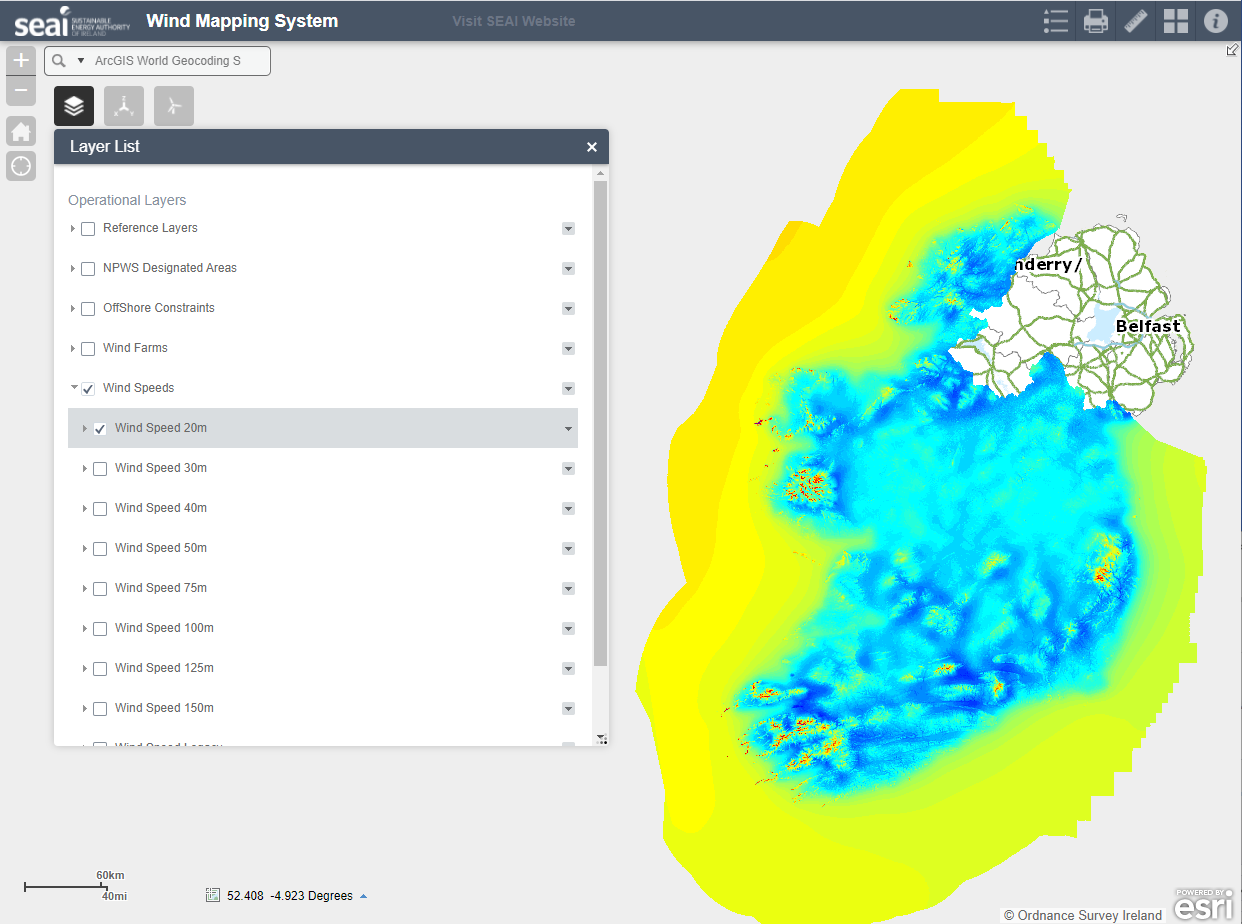
average-wind-speeds-2001-to-2010-50m-above-ground-level
Additional Information
| Field | Value |
|---|---|
| Data last updated | 23 Iúil 2021 |
| Metadata last updated | 14 Bealtaine 2025 |
| Created | 23 Iúil 2021 |
| Formáid | HTML |
| Ceadúna | Creative Commons Attribution 4.0 |
| Access url | https://maps.seai.ie/apps/WindAtlas |
| Has views | True |
| Id | 77a3ae8c-0374-49f2-995d-dc1c732fded7 |
| Notes | Webpage SEAI online Wind Atlas |
| Package id | fb9049b7-b74f-479f-9bb7-d27d67c5e65d |
| Position | 2 |
| State | active |
| Superset Dataset | |
| Cur síos | Webpage SEAI online Wind Atlas |
| High Value Dataset (HVD) Resource | Níl |
| Applicable Legislation | |
| Formáidí freagartha API | |
| Cineál API | |
| Url Rochtana API |
 Derilinx