average-wind-speeds-2003-100m-height
Additional Information
| Field | Value |
|---|---|
| Data last updated | 18 Deireadh Fómhair 2021 |
| Metadata last updated | 14 Bealtaine 2025 |
| Created | 18 Deireadh Fómhair 2021 |
| Formáid | HTML |
| Ceadúna | Creative Commons Attribution 4.0 |
| Access url | https://maps.seai.ie/apps/WindAtlas |
| Has views | True |
| Id | c7f4ae00-658e-4cf8-a5c8-747f3d28315e |
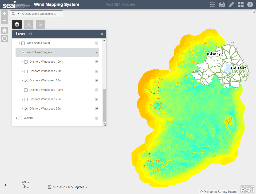
| Notes | Webpage SEAI online Wind Atlas. Wind Speeds from 2003 wind-mapping project listed as "Wind Speed Legacy". |
| Package id | dc8257d7-d9c7-4009-a48a-d07c74009ac9 |
| Position | 2 |
| State | active |
| Cur síos | Webpage SEAI online Wind Atlas. Wind Speeds from 2003 wind-mapping project listed as "Wind Speed Legacy". |
| High Value Dataset (HVD) Resource | Níl |
| Applicable Legislation | |
| Formáidí freagartha API | |
| Cineál API | |
| Url Rochtana API |
 Derilinx