launch of 'The School Information Map'
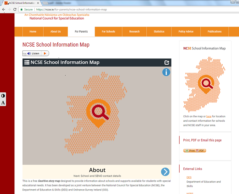
4 March 2019OSi have launched a free GeoHive story map developed as a joint venture between the National Council for Special Education (NCSE) and the Department of Education & Skills (DES). The School Information Map provides the locations of schools, contact information for schools and information about the resources available in those schools. This interactive tool aims to make it easier to access areas of resource and support available to students with special needs on one platform. To view the map visit http://ncse.ie/for-parents/ncse-school-information-map
 Derilinx