seascape-effects-wind-turbine-35km
Additional Information
| Field | Value |
|---|---|
| Data last updated | 6 January 2022 |
| Metadata last updated | 14 May 2025 |
| Created | 6 January 2022 |
| Format | HTML |
| License | Creative Commons Attribution 4.0 |
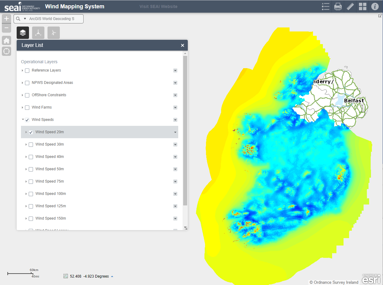
| Access url | https://maps.seai.ie/apps/WindAtlas |
| Has views | True |
| Id | 30c6a6c1-44da-43a9-928a-dbbd05026333 |
| Notes | Webpage SEAI online Wind Atlas |
| Package id | a3d3b895-aa4a-420d-b833-66608c8d9b20 |
| Position | 1 |
| State | active |
| Description | Webpage SEAI online Wind Atlas |
| High Value Dataset (HVD) Resource | No |
| Applicable Legislation | |
| API response formats | |
| API type | |
| API access url |
 Derilinx