average-wind-speeds-2001-to-2010-100m-above-ground-level
Resource: Wind speed 100m in WGS 84 (EPSG:3857)
URL: https://seaiopendata.blob.core.windows.net/wind/WindSpeed_100m_EPSG3857.zip
Additional Information
| Field | Value |
|---|---|
| Data last updated | 23 July 2021 |
| Metadata last updated | 14 May 2025 |
| Created | 23 July 2021 |
| Format | SHP |
| License | Creative Commons Attribution 4.0 |
| Access url | https://seaiopendata.blob.core.windows.net/wind/WindSpeed_100m_EPSG3857.zip |
| Download url | https://seaiopendata.blob.core.windows.net/wind/WindSpeed_100m_EPSG3857.zip |
| Has views | True |
| Id | 79927c59-13be-4860-9c41-ac2558ea61f3 |
| Mimetype | application/zip |
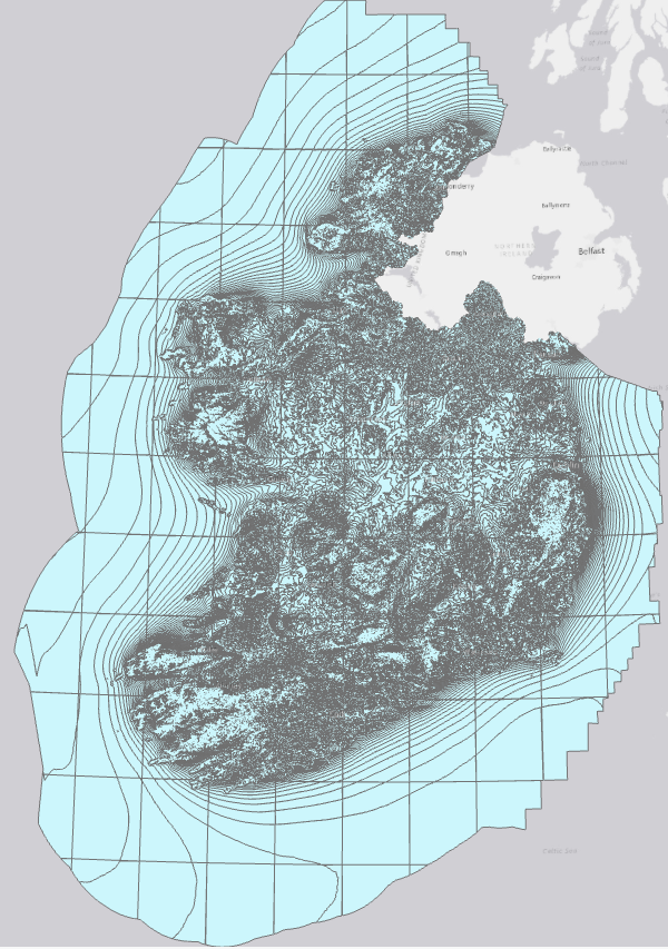
| Notes | Dataset of average wind speed at 100m above ground level in WGS 84 Web Mercator (EPSG:3857) spatial reference system. Source: SEAI Wind Atlas (http://gis.seai.ie/wind). |
| Package id | 065a5049-dc22-4cbc-8f94-722f876055df |
| Position | 1 |
| State | active |
| Description | Dataset of average wind speed at 100m above ground level in WGS 84 Web Mercator (EPSG:3857) spatial reference system. Source: SEAI Wind Atlas (http://gis.seai.ie/wind). |
| High Value Dataset (HVD) Resource | No |
| Applicable Legislation | |
| API response formats | |
| API type | |
| API access url |
 Derilinx