average-wind-speeds-2003-75m-height
Resource: Wind speed 2003 75m in WGS 84 (EPSG:3857)
URL: https://seaiopendata.blob.core.windows.net/wind/WindSpeed_2003_75m_EPSG3857.zip
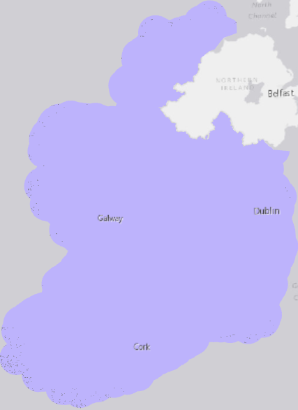
Shapefile preview of mean average wind speed 2003 at 75m height, onshore and offshore.
Additional Information
| Field | Value |
|---|---|
| Data last updated | 18 October 2021 |
| Metadata last updated | 14 May 2025 |
| Created | 18 October 2021 |
| Format | SHP |
| License | Creative Commons Attribution 4.0 |
| Access url | https://seaiopendata.blob.core.windows.net/wind/WindSpeed_2003_75m_EPSG3857.zip |
| Download url | https://seaiopendata.blob.core.windows.net/wind/WindSpeed_2003_75m_EPSG3857.zip |
| Has views | True |
| Id | 5a21fa91-222d-4db9-9cf6-0387405c2c36 |
| Mimetype | application/zip |
| Notes | Dataset of average wind speed at 75m height in WGS 84 Web Mercator (EPSG:3857) spatial reference system. Source: SEAI's 2003 wind-mapping project. |
| Package id | ab07fe41-eb88-4aa7-af34-5dc69f8a6698 |
| Position | 1 |
| State | active |
| Superset Dataset | |
| Description | Dataset of average wind speed at 75m height in WGS 84 Web Mercator (EPSG:3857) spatial reference system. Source: SEAI's 2003 wind-mapping project. |
| High Value Dataset (HVD) Resource | No |
| Applicable Legislation | |
| API response formats | |
| API type | |
| API access url |
 Derilinx